View through the products we carry
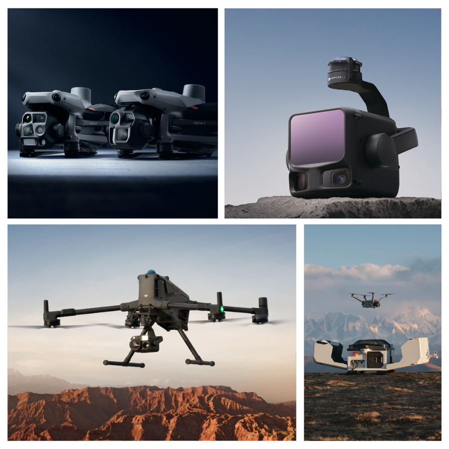
Unmanned Aerial Vehicles (UAVs)
DJI Enterprise provides specialized aerial platforms for critical sectors including public safety, energy, construction, and agriculture. By integrating advanced sensors and mapping software, they transform complex industrial tasks—such as infrastructure inspection and precision surveying—into efficient, data-driven operations that maximize safety and minimize costs.
Public Safety
Real-time intelligence for search, rescue, and emergency response.
Energy
Remote inspection of power grids, wind farms, and oil/gas assets.
Construction
Site monitoring and high-fidelity 3D modeling for BIM.
Surveying
High-precision GIS mapping and topographic data collection.
ROVs (Remote Operated Vehicles)
QYSEA FIFISH is the global pioneer in professional-grade Remotely Operated Vehicles (ROVs), designed to bring expert-level performance to underwater industries.
Industries supported by Fifish
Aquaculture
Automate net inspections, monitor fish health, and perform waste cleanup without the need for human divers.
Public Safety & SAR
Deploy in minutes for search and rescue missions, utilizing sonar and AI stabilization to locate targets
Infrastructure & Energy
Conduct high-precision inspections of ship hulls, dam walls, and offshore wind farms using specialized tools like thickness gauges and robotic arms.
Science & Research
Gather critical marine data and high-definition mapping for seafloor surveys, environmental monitoring, and archaeological discovery.
Anti-Drone Solutions
Custom Payloads
Soarability (AiRINS) is a leader in mobile environmental sensing, providing high-precision tools for real-time air and water analysis. Their flagship Sniffer4D series enables multi-gas detection and 3D pollution mapping, while the Speedip system offers automated, remote water sampling for hard-to-reach areas.
Monitoring solutions provided
Air Quality & Environment
Real-time detection of up to nine pollutants (PM, gases) with 3D mapping for smart cities and environmental protection.
Oil & Gas Safety
High-precision methane leak detection and quantification using TDLAS technology for pipelines and refineries.
HAZMAT & Emergency Response
Rapid identification of toxic chemicals and nuclear radiation levels to guide first responders safely.
Water & Liquid Sampling
Automated, remote collection of water samples from hard-to-reach or contaminated areas with precision depth control.
CZI (Chengzhi Intelligence) delivers mission-critical drone payloads, including high-intensity searchlights, long-range speakers, and delivery systems. As a premier DJI Enterprise partner, their hardware enhances public safety and industrial operations by providing essential tools for real-time communication, nighttime illumination, and emergency response.
Public Safety
Used by police and first responders for night searches and broadcasting instructions to large crowds.
Emergency Rescue
Delivering life-saving equipment and providing high-intensity lighting for nighttime disaster relief.
Infrastructure Inspection
Utilizing tethered systems and spotlights for prolonged, detailed inspections of power grids and bridges.
Positioning
Emlid is a global leader in high-precision GNSS technology, providing centimeter-level positioning solutions for surveying, mapping, and navigation. Their Reach series of RTK receivers is designed to be rugged, affordable, and user-friendly, making professional-grade accuracy accessible for drone integration and ground-based field data collection.
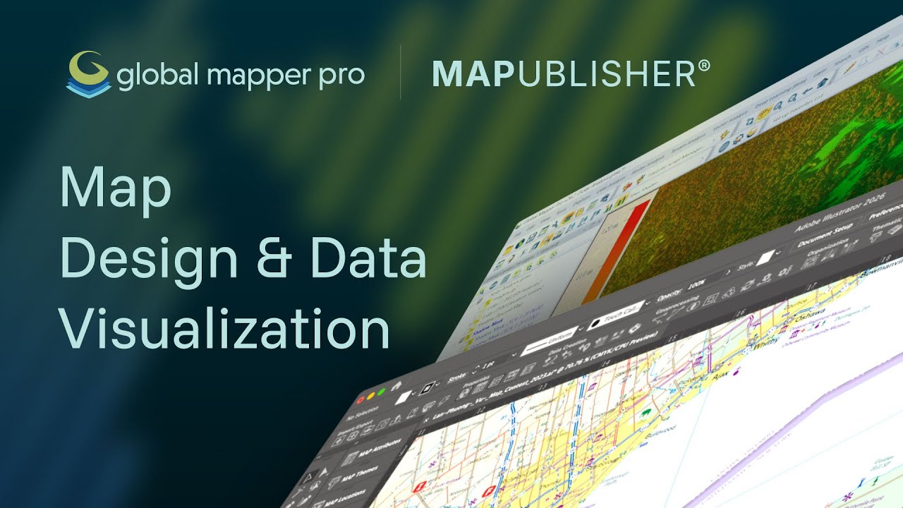
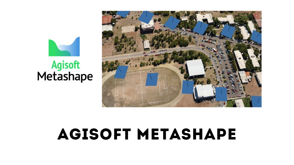
Softwares